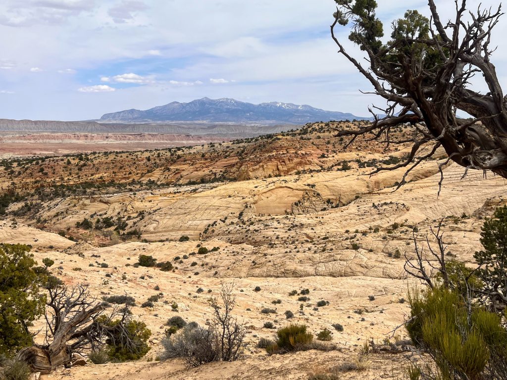
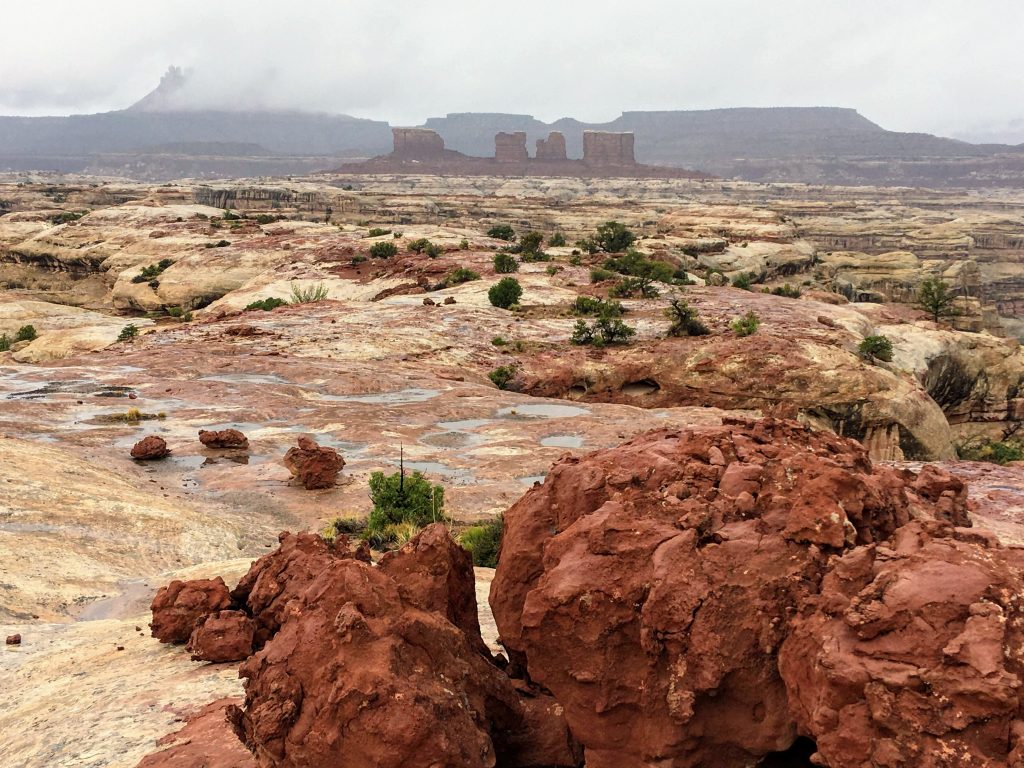
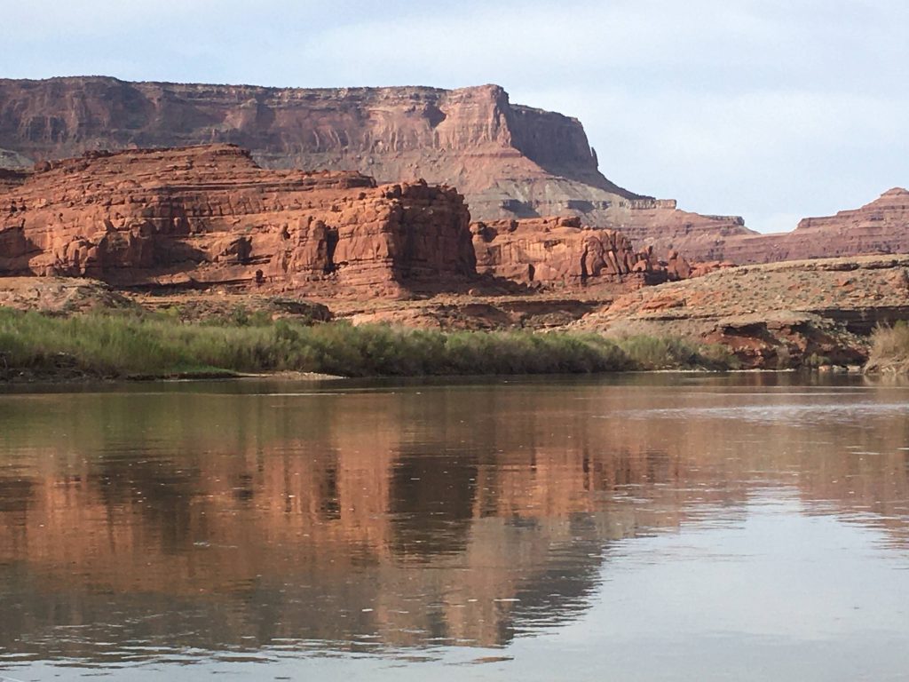
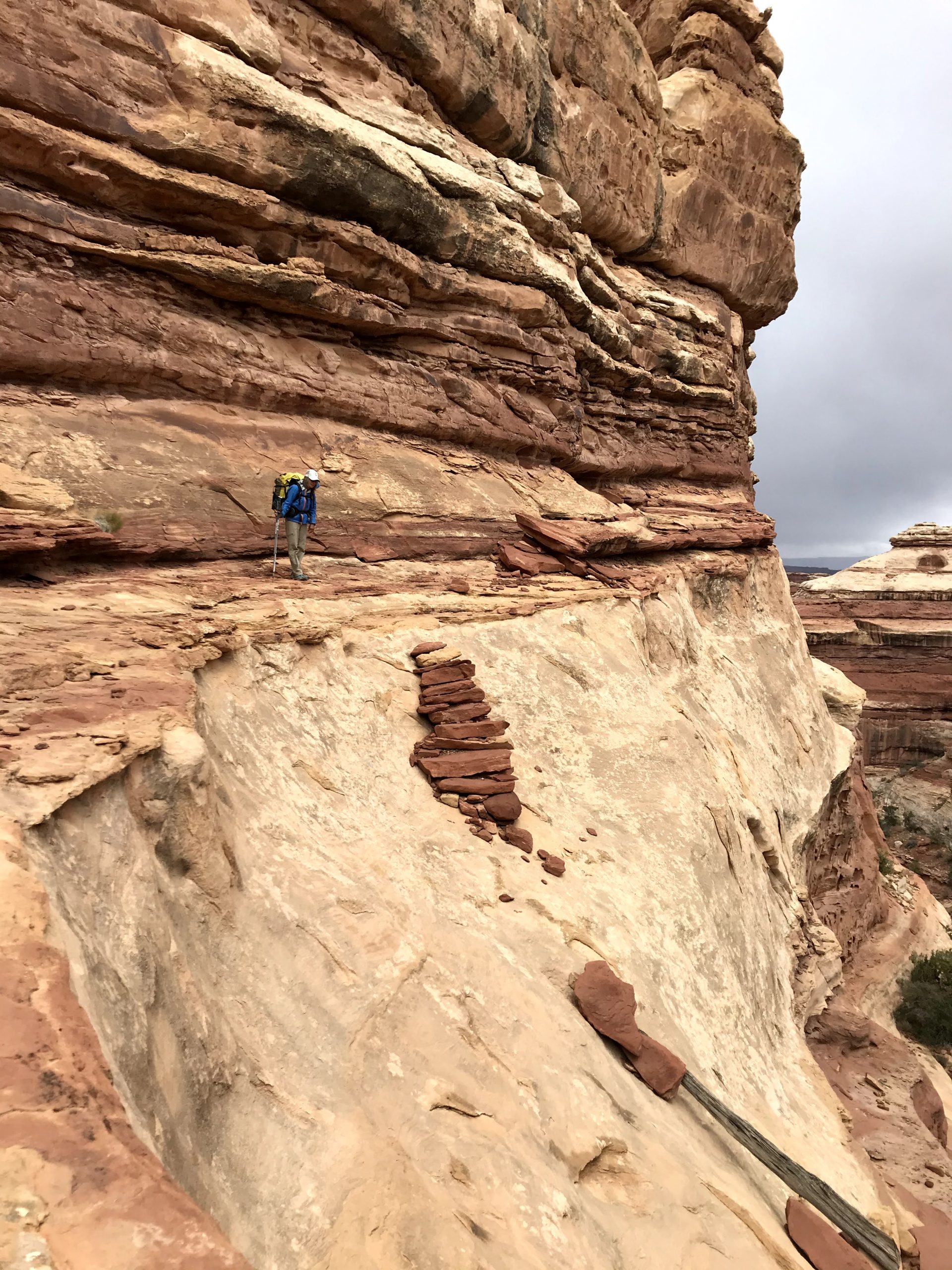
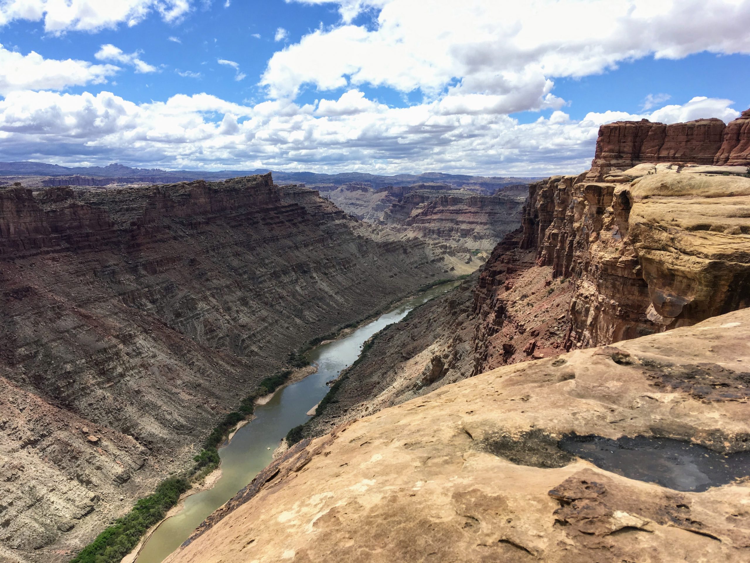
With a five-day window for a solo hiking trip, I decided to explore the outer reaches of Capitol Reef National Park. Capitol Reef is a spectacular area that encompasses the Waterpocket Fold. This giant rock “wrinkle” in the landscape provides stunning scenery, interesting geology and a diversity of wildlife. I would certainly not be the first person there; for centuries, the area has invited human occupation.
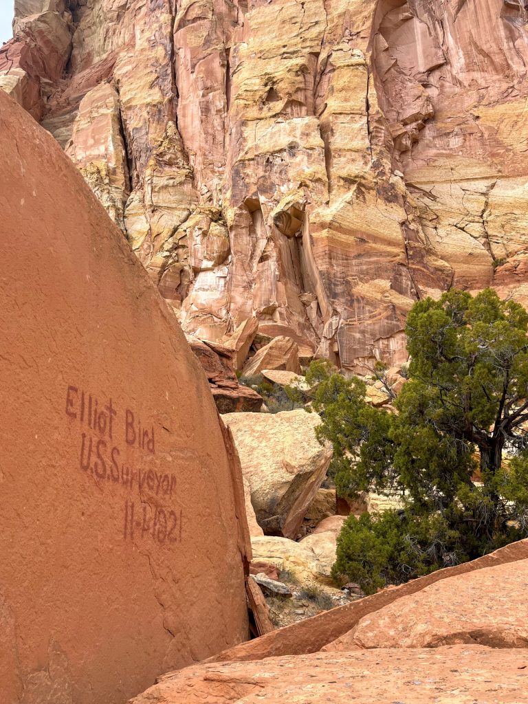
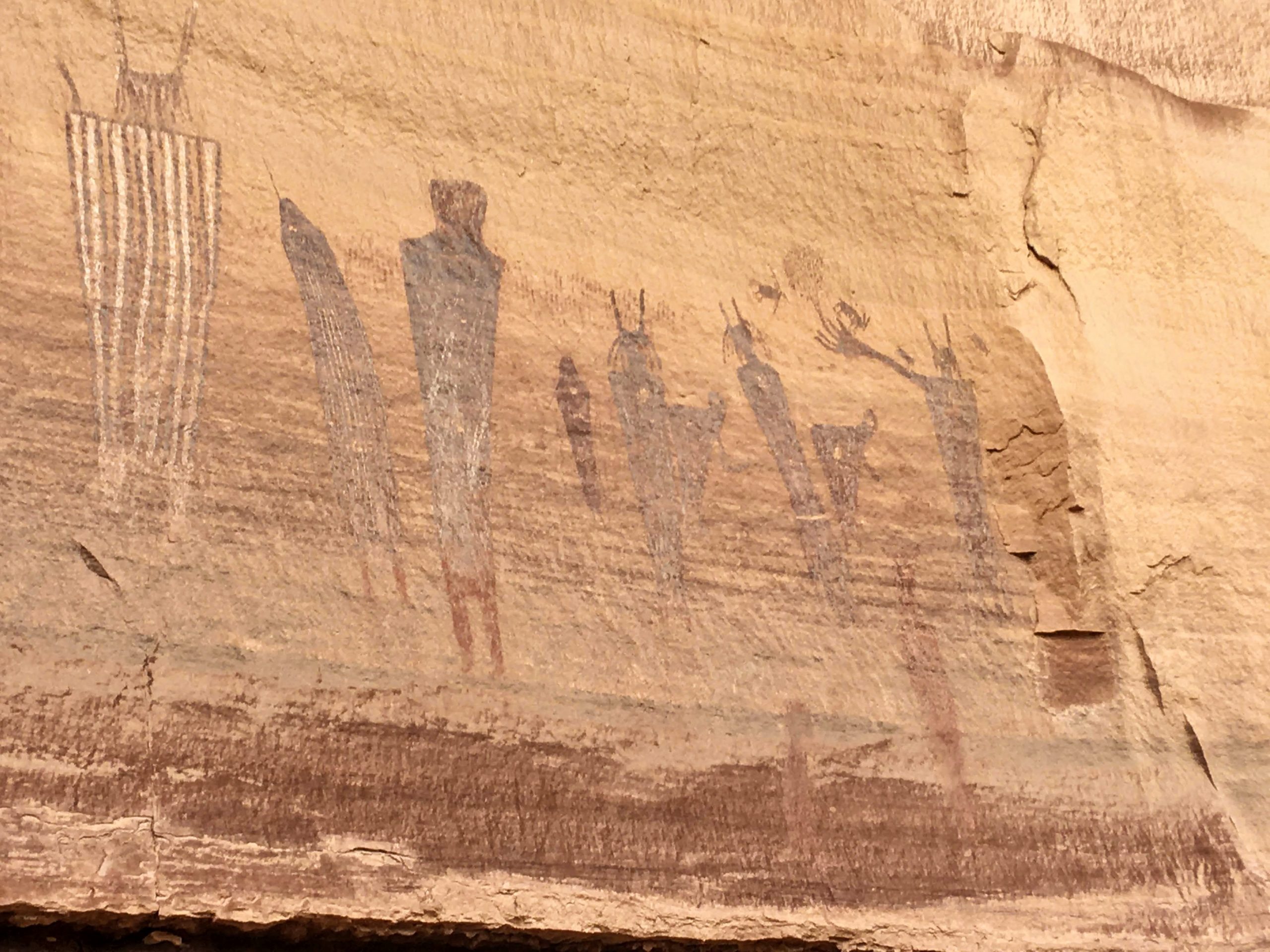
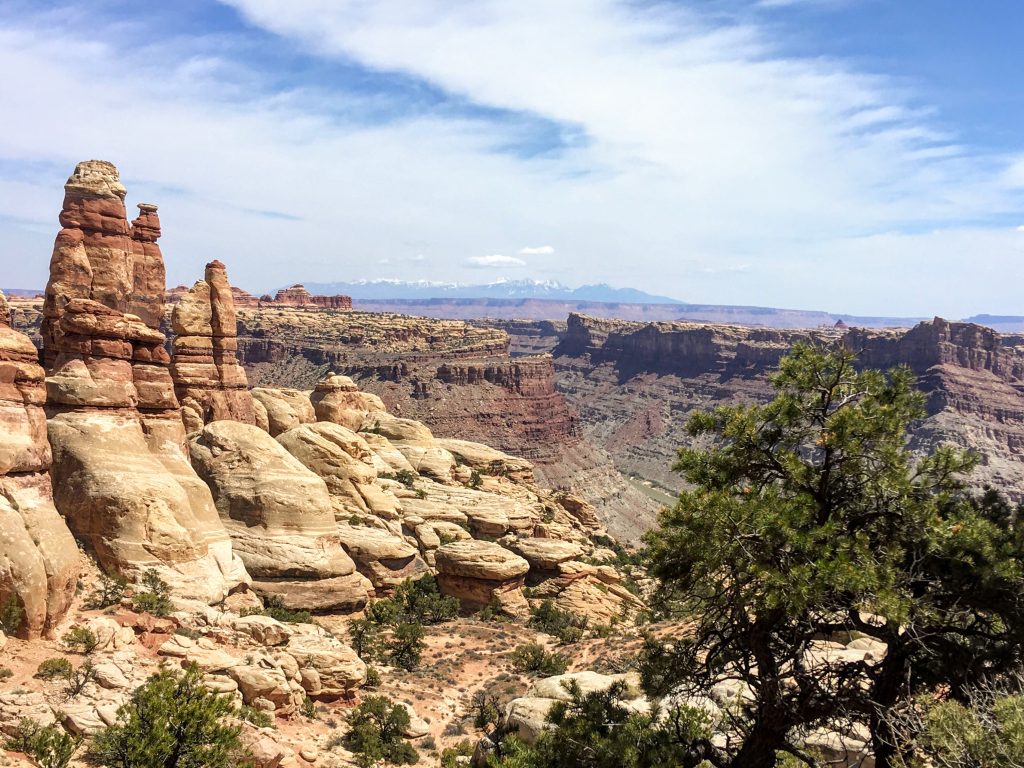
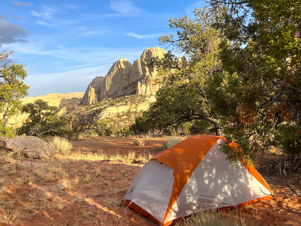
My first excursion showed signs of people from much earlier times having passed through. I located a scenic ridge for my camp. It commanded great views in all directions.
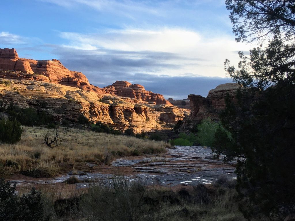
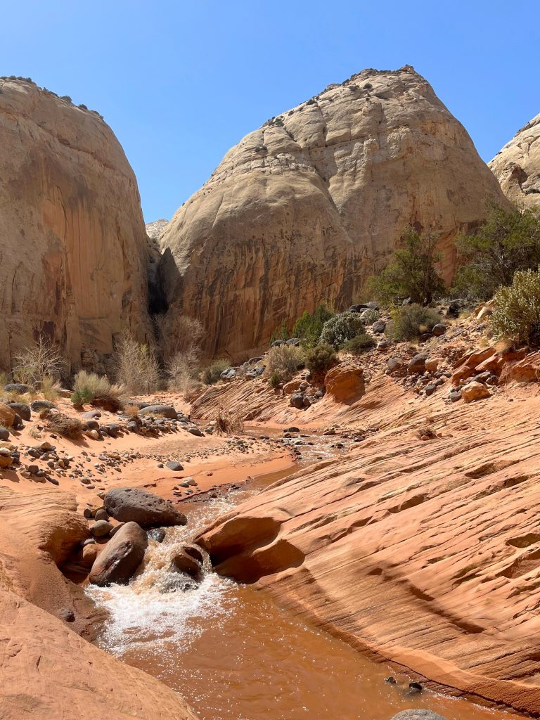
The creek was flowing full. I crossed it several times as I wandered downcanyon, and then returned back upcanyon to camp.
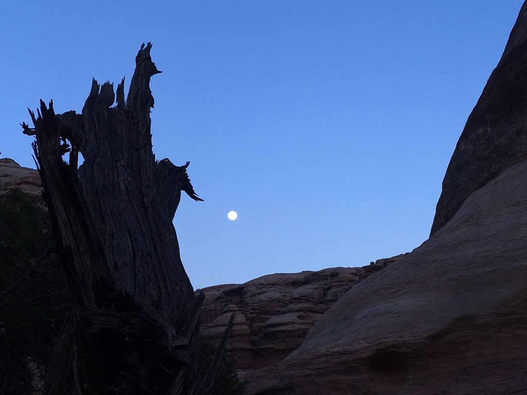
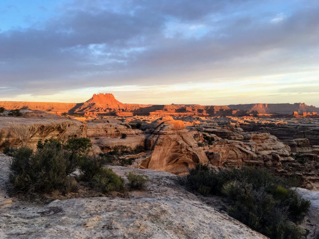
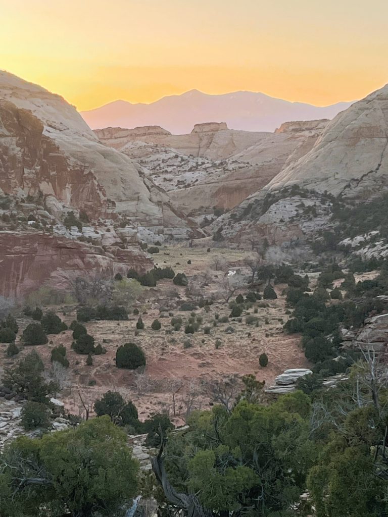
Watching the changing light is one of my favorite past-times at camp. Here’s a sequence from sunset to sunrise:
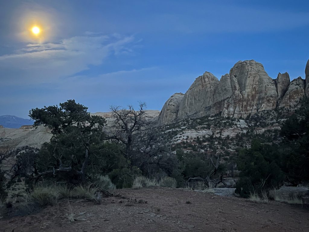
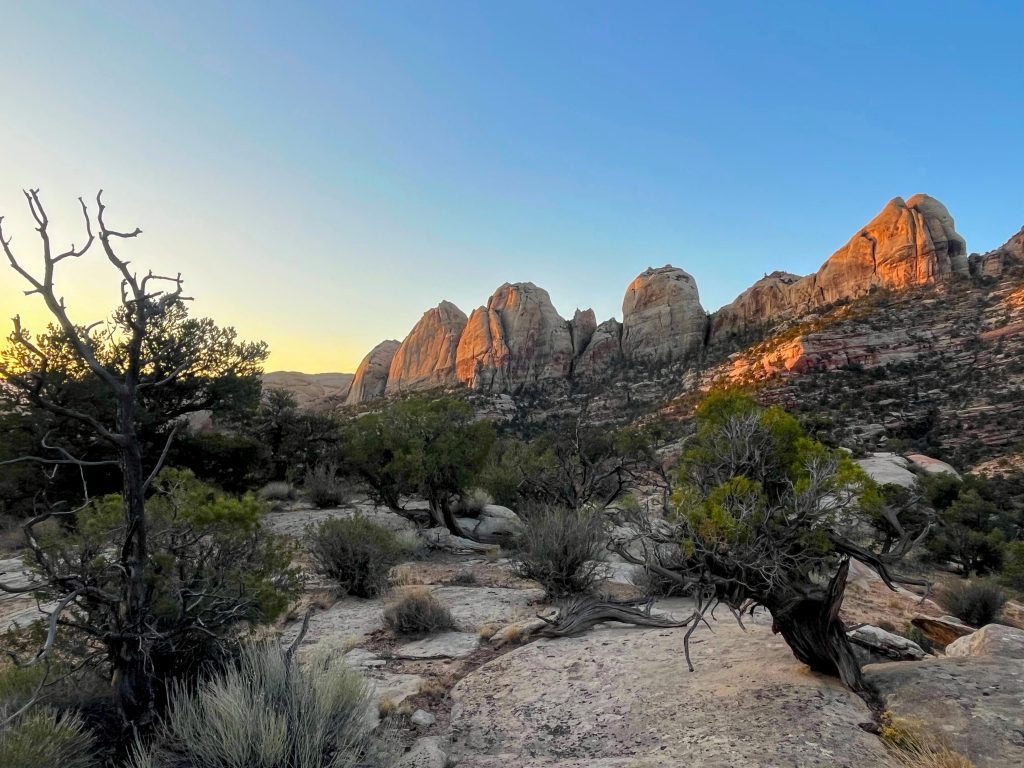
I lingered awhile, then wistfully packed camp. It was time to explore my way back to my car and head to a new camping destination.

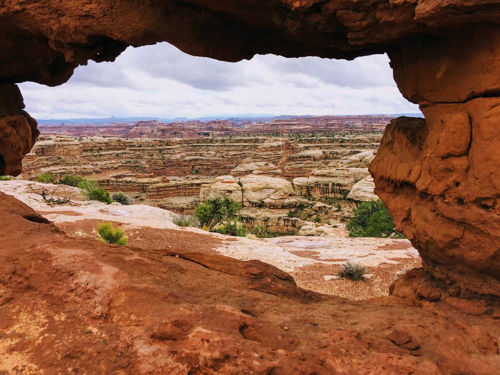
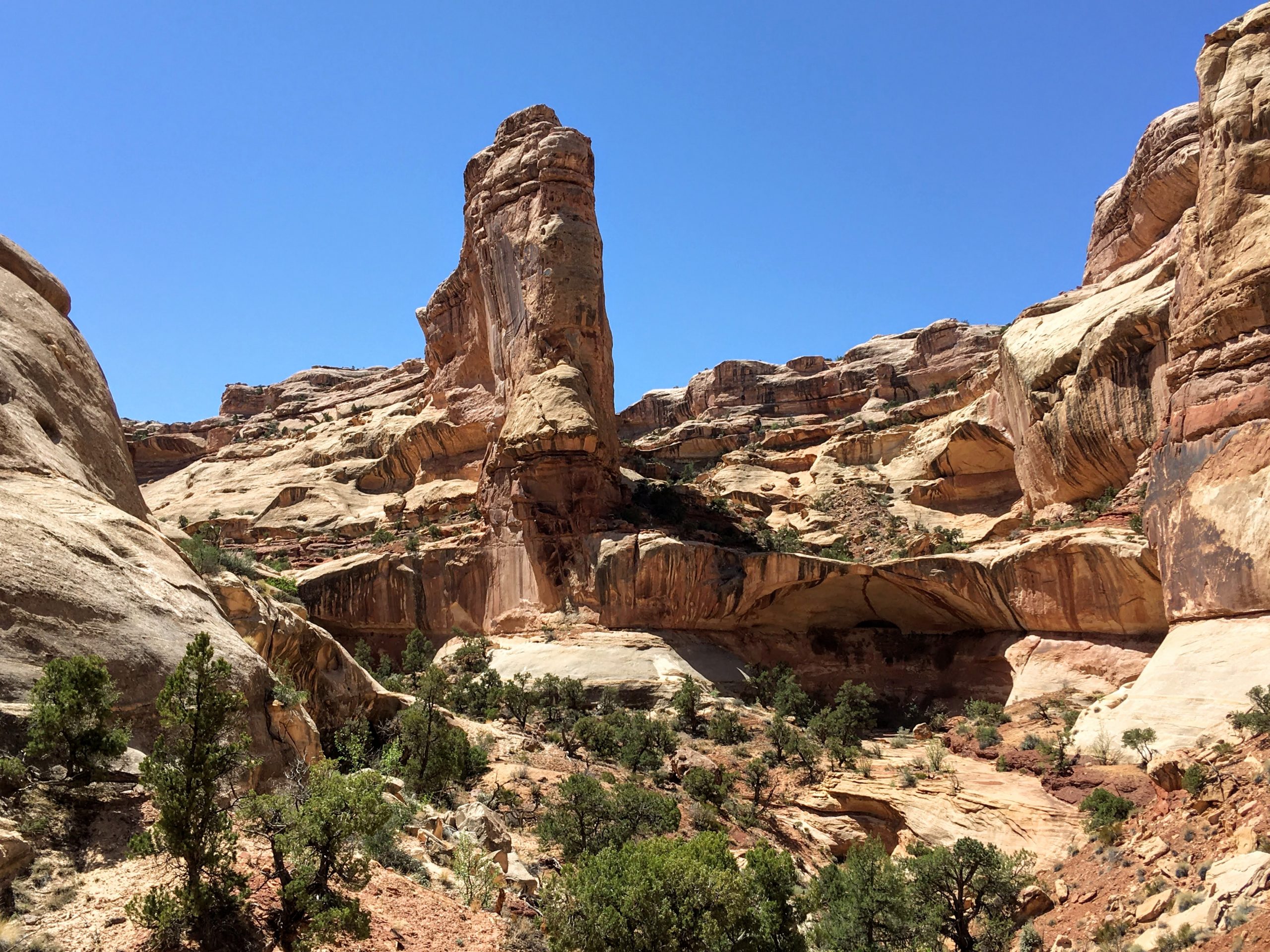
On my way to the next canyon, I enjoyed a quick uphill hike to see the Golden Throne, as well as large complex rock formations, and distant views.
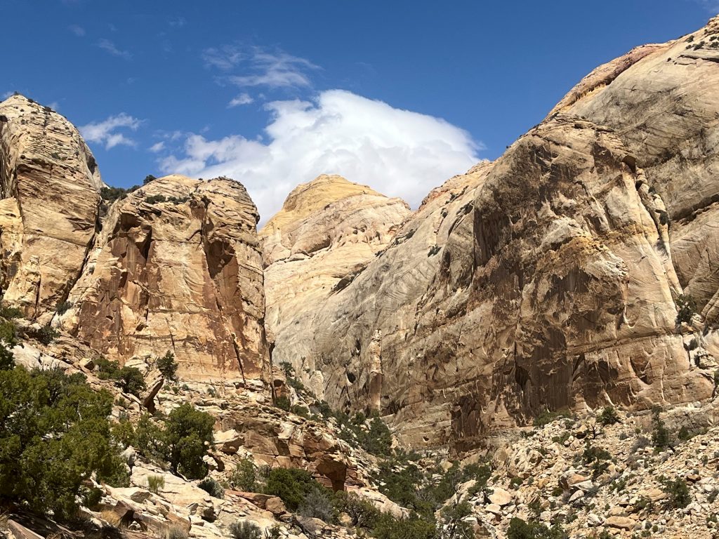
It had already been quite a day, and I had a little further to go. I descended between sheer canyon walls en route to the next camp.
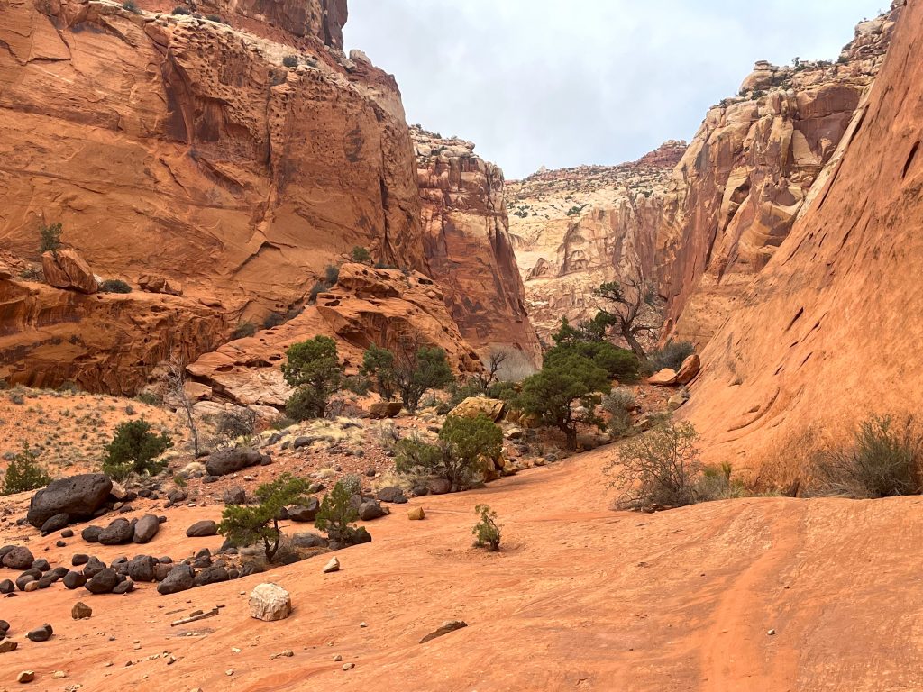
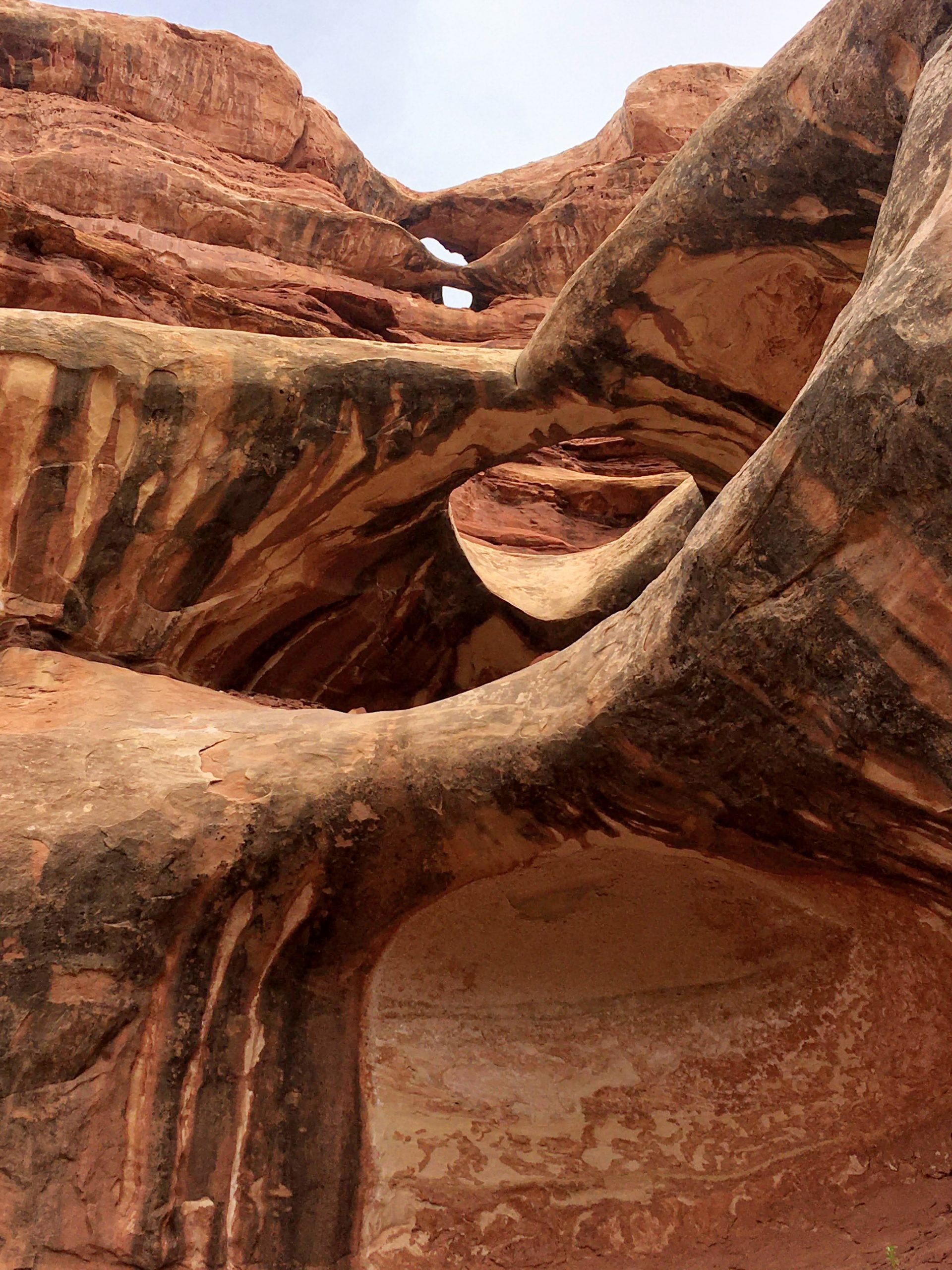
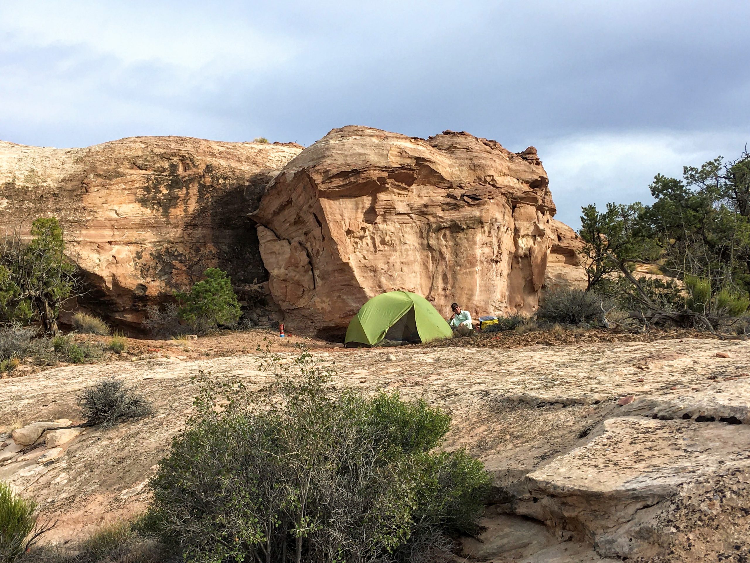
It was a bit of a blustery night, but morning dawned clear and still. There were many sweet secret spots to discover.
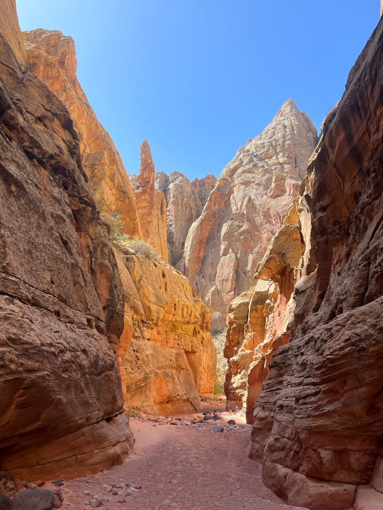
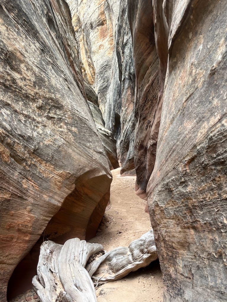
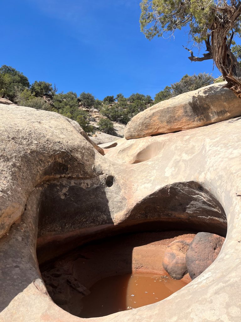
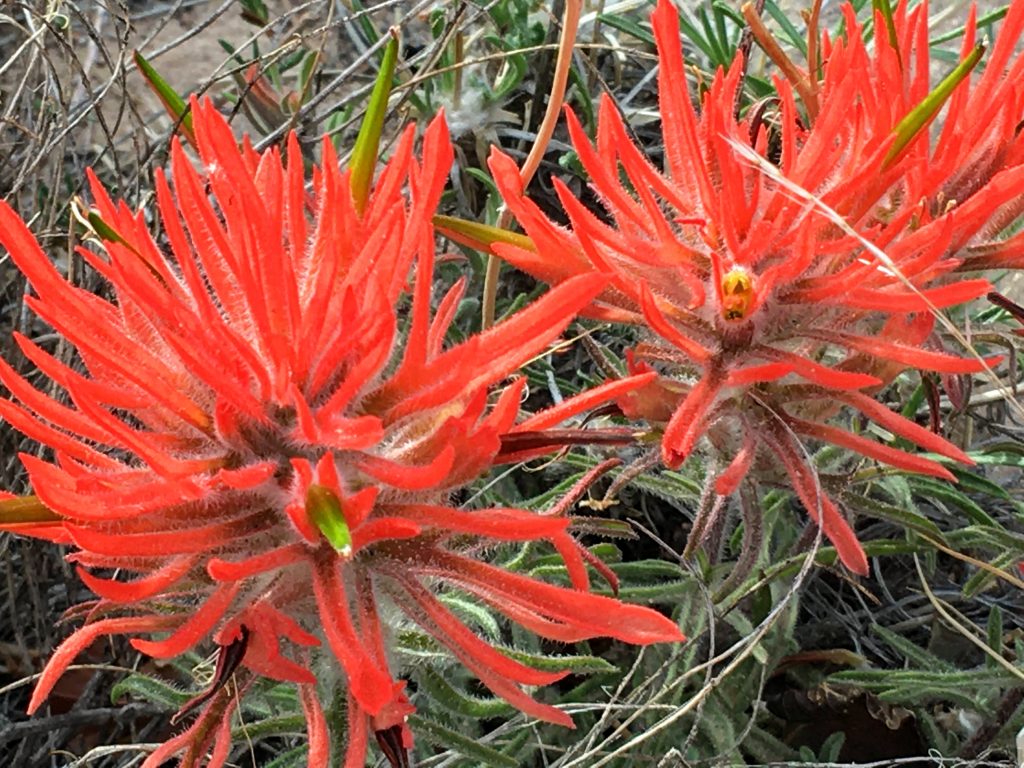
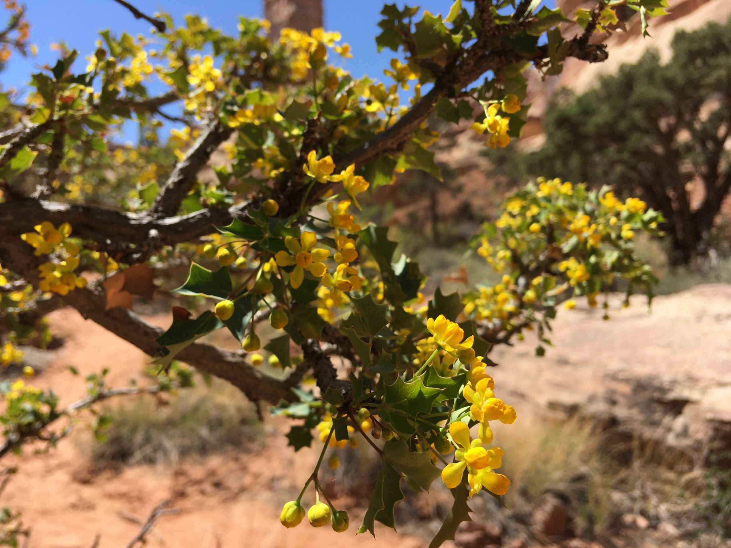
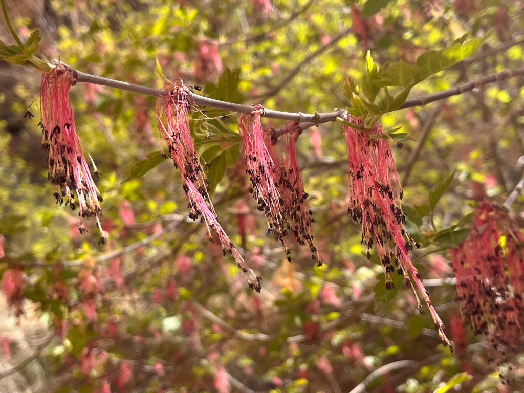
Besides the wondrous rock formations, there was the magic of trees and shrubs that were just beginning to bloom.
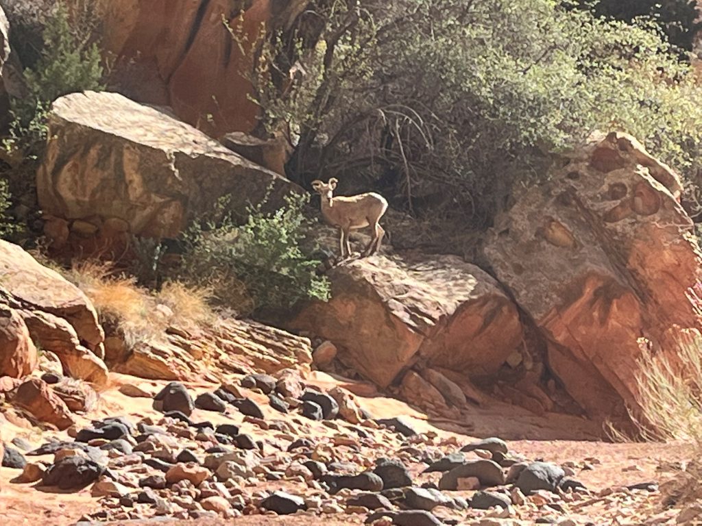
I rounded a curve in the canyon to find two young bighorn sheep browsing. I kept very still for a long time. Afterwards, they didn’t seem to mind me passing by.
The canyon continued to provide tantalizing twists and turns.
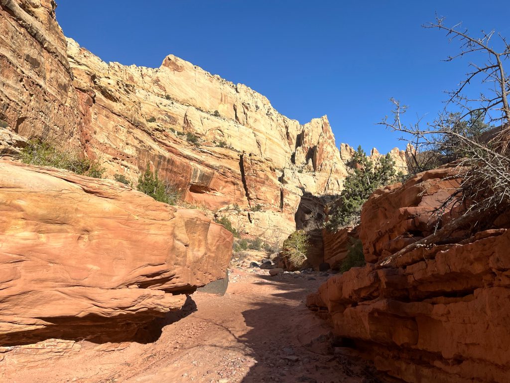
I lingered as long as I could. I hope to return to this wondrous area soon!
